Image from MrBurnett.net

This page focuses on the geography of ancient Greece and the larger Mediterranean area as well as the modern countries of the region.
Topics on this page
Influence of Greece to 300 BCE
- Alexander the Great's Empire
Modern Day Middle East
 CROSS-LINKS:
Geography of Ancient Athens and Greek Maritime Trade
Focus Question: What was the extent of Greece's influence to 300 BCE?
1) As the different tribes that made up Greece became more unified and advanced, they began to expand.
- Partly due to population pressures on the main land and partly due to political interests, Greeks started to populate islands (such as Ionia) and create colonies as far west as Southern Italy and Sicily, and as far North and East as the Black Sea.
2) Because of the geography of the land (with so many peninsulas and coastal areas) it made sense that the Greeks would always be looking seaward, and therefore have a predisposition towards travel.
- Eventually there were over 1,000 communities over this great expanse of land. But as spread out as they were, they were united by sea travel.
3) Some points of interest
- The Greek city of Massilia became what is now Marseilles, in Southern France
- The Greeks colonized the coast of Spain as well. The Phoenicians, however, pushed them out—but not before the Greeks obtained knowledge of their alphabet, which they adapted for their own use.
- Eventually there were over 1,000 communities over this great expanse of land. But as spread out as they were, they were united by sea travel.
Map Resources
 For more awesome material, see Time Elapse Maps for AP
World History

 Women in Classical Greece
Development of the Greek Alphabet
Alexander the Great's Empire
Although not a Greek himself (he was Macedonian), the empire built by Alexander the Great was of utter importance to the spread of Greek thought and culture.
- In just a few short years, he had managed to tie together one of the largest empires ever by conquering the Achaemenid empire in the year 331 B.C after the Battle of Guagamela.
- His territory spread from the Balkan Peninsula all the way to India, including Egypt, Mesopotamia and Persia. As a result, Alexander connected the newly unified Macedonian Kingdom and Greek city states with the known civilizations of eastern world.
- His armies not only conquered all the land, they were also responsible for introducing the Middle East to Greek thought from the philosophers who themselves had influenced Alexander.
 |
| Alexander the Great's Empire at its height. |
Focus Question: What countries make up the modern-day Mediterranean area?

Students should be able to locate on a modern map: Europe, The Middle East, and the Indian Subcontinent. Specific countries include: England, France, Greece, Italy, Spain, Crete Egypt, India, Pakistan, and Turkey.
The Middle East (highlighted in red) on the map http://www.unc.edu/mideast/where/mei-2005.shtml.
Map Resources
Interactive Map of Mediterranean Sea
Link here for an interactive map of the evolution of Ancient Greece
This link leads to an interactive map of the expansion done under Alexander the Great. Click on each location to read about the events that occurred there and how they played a role in the expansion of his empire.
Middle East Map Game(Drag the names of the countries to their spot on the map).
 An Interactive map/game for locating key geographical landmarks in Ancient Greece
ADDITIONAL INFORMATION
Maps of Ancient Greece
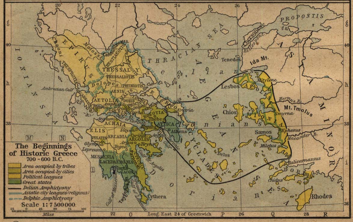
Shepard, William R. (2005). Perry-Castañeda Library Map Collection Historical Maps of Europe. Retrieved February 10, 2007, from University of Texas Library Web site: http://www.lib.utexas.edu/maps/historical/shepherd/beginnings_hist_greece.jpg
Shepard, William R. (2005). Perry-Castañeda Library Map Collection Historical Maps of Europe. Retrieved February 10, 2007, from University of Texas Library Web site.
Add Discussion
New Mapping or Information
MrAmster Apr 5, 2010
It would be an excellent visual to have to a map demonstrating the routes of Greek traders. I have an atlas book we use in class that shows not only this, but what is traded at each point. I think that this would be valuable to include. Any ideas?
MrsKunz Apr 30, 2017
How about this one? http://www.mrburnett.net/apworldhistory/maps/trade1ancientgreece.bmp
maloyr Apr 30, 2017
Excellent suggestion and a link to that map for Greek and Phoenician Colonies and Trade has been added to the page


 World History (Massachusetts)
.png) Grades 1 - 8 (Massachusetts)
Grades 1 - 8 (Massachusetts).png)
.png)
.png)
.png)

Comments (0)
You don't have permission to comment on this page.