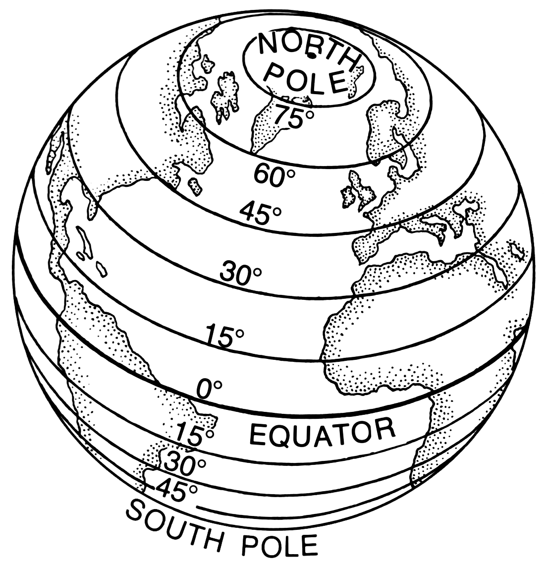
Latitude and Longitude
Latitude: lines measuring north south position between the poles; they run parallel to each other. Think of the rhyme: "Tropical latitudes improve my attitude
- Think about having imaginary horizontal "hula hoops" around the earth, with the biggest hoop around the equator, and then progressively smaller ones stacked above and below it to reach the North and South Poles
- or think of a ladder! A ladder has two long sticks and many rungs that run between those sticks. Think of all the ladders horizontal rungs as lines of latitude (or "ladder-tude").

Longitude: lines running from North to South Pole that measure east west position. Think of the rhyme "Lines of LONGitude are all just as LONG as one another
 Learn more at Seasonal Change
 Here is a link to a short YouTube video on latitude and longitude
and another... (sign language and captions provided, highly accessible)
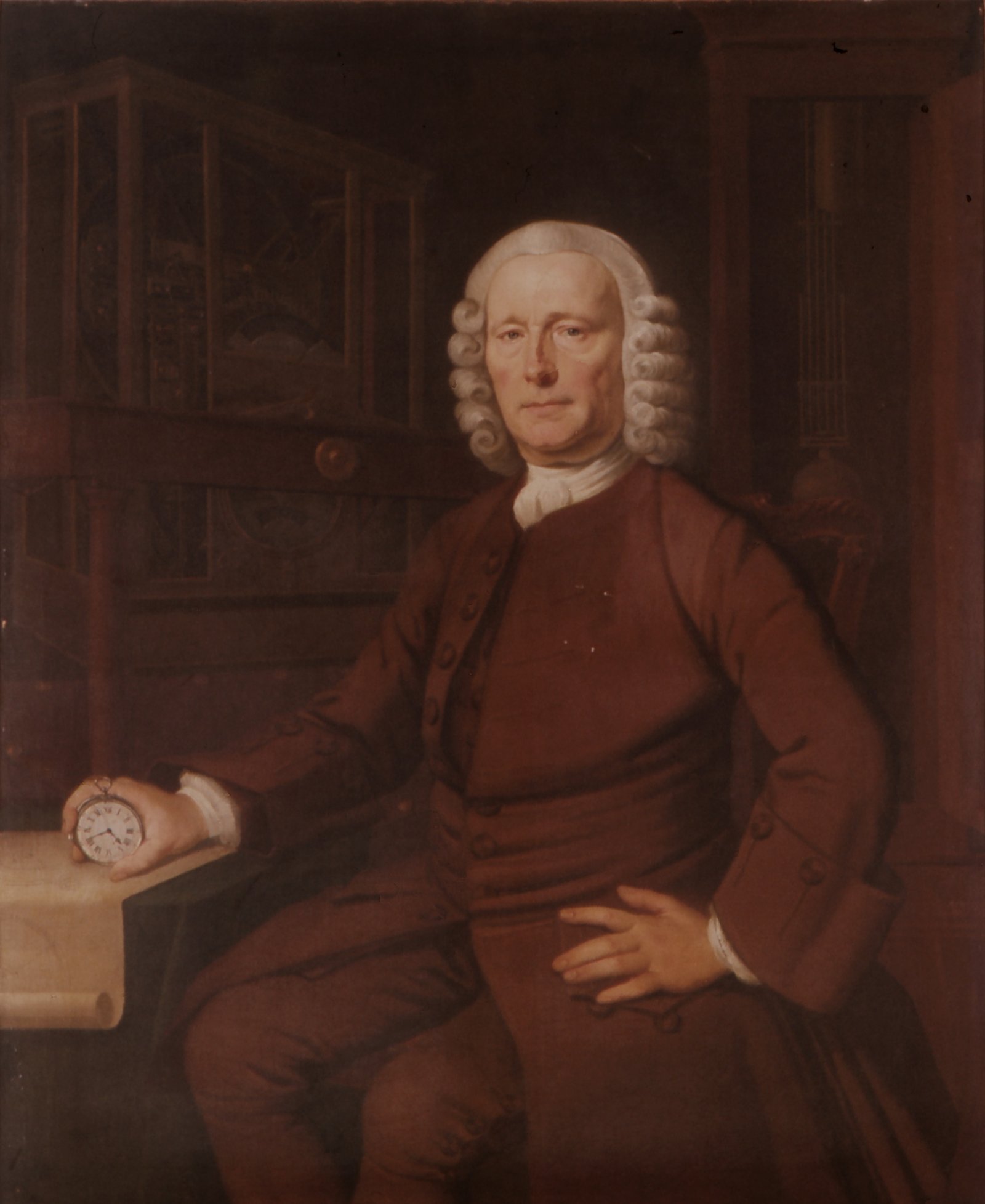
 Longitude: The True Story of a Lone Genius Who Solved the Greatest Scientific Problem of His Time. Dava Sobel. Penguin Books, 1995.
- In the early 1700s, John Harrison created a clock that would keep precise time at sea

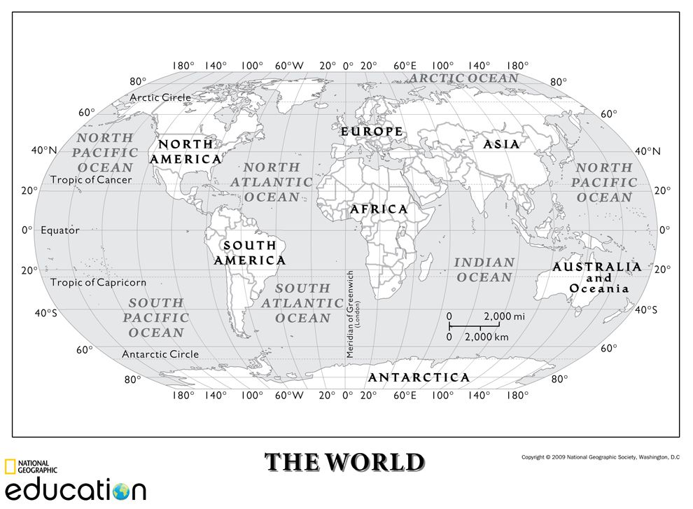
Null Island ( Latitude 0, Longitude 0)
- Null Island, an imaginary island located at 0°N 0°E (hence “Null”) in the South Atlantic Ocean, is where the Equator meets the Prime Meridian
Link to The Geographical Oddity of Null Island, Library of Congress
Time Zones
A time zone is a region of the globe that observes a uniform standard time for legal, commercial, and social purposes. Time zones tend to follow the boundaries of countries and their subdivisions because it is convenient for areas in close commercial or other communication to keep the same time.
Learn more: https://www.timetemperature.com/tzus/time_zone.shtml

The Seasons, the Solstices and Equinox
Basic Definitions from the National Weather Service
\
 Learning Plans
Since each 15° of longitude is equivalent to a difference in time of one hour, you could introduce time zones and have students figure out the time in different places in the world.
Here is a link to a Brief History of Longitude and Greenwich Mean Time
Find your own Latitude and Longitude!
https://developer.mapquest.com/documentation/tools/latitude-longitude-finder/
Practice! Finding places using Latitude and Longitude
http://earthguide.ucsd.edu/earthguide/diagrams/latitude_longitude/
Practice! Identify lines of Latitude and Longitude
https://www.ixl.com/social-studies/grade-5/identify-lines-of-latitude-and-longitude
Practice! Deliver pizza using Latitude and Longitude
https://www.mrnussbaum.com/international-pizza-delivery-2.html
 One idea is the online game Geoguessr
- In Geoguessr, viewers are shown a picture of a place somewhere in the world and my rotate the scene to try and figure out where it is based on visual information.
- What types of trees and vegetation; houses and roads, signs and other environmental clues do students see?
- Played as teams, it can lots of fun to see who comes closest to the actual location--which you can then measure withlatitude and longitude.
Another idea involves showing students an UpsideDown map of the world to get them interested in how people figure out where they are in the world. This map upsets conventional thinking and creates mystery and fun at the same time.
More Lesson Plans:
Education World, Where in the World: https://www.educationworld.com/a_lesson/dailylp/dailylp/dailylp130.shtml
- Worksheet PDF (https://www.educationworld.com/a_lesson/dailylp/dailylp/pdfs/dailylp130-download.pdf)
National Geographic, Intro to Latitude and Longitude: https://www.nationalgeographic.org/activity/introduction-latitude-longitude/
Journey North, Where in the World Pt2: https://journeynorth.org/tm/WhereWorld.html


 World History (Massachusetts)
.png) Grades 1 - 8 (Massachusetts)
Grades 1 - 8 (Massachusetts).png)
.png)
.png)
.png)

Comments (0)
You don't have permission to comment on this page.